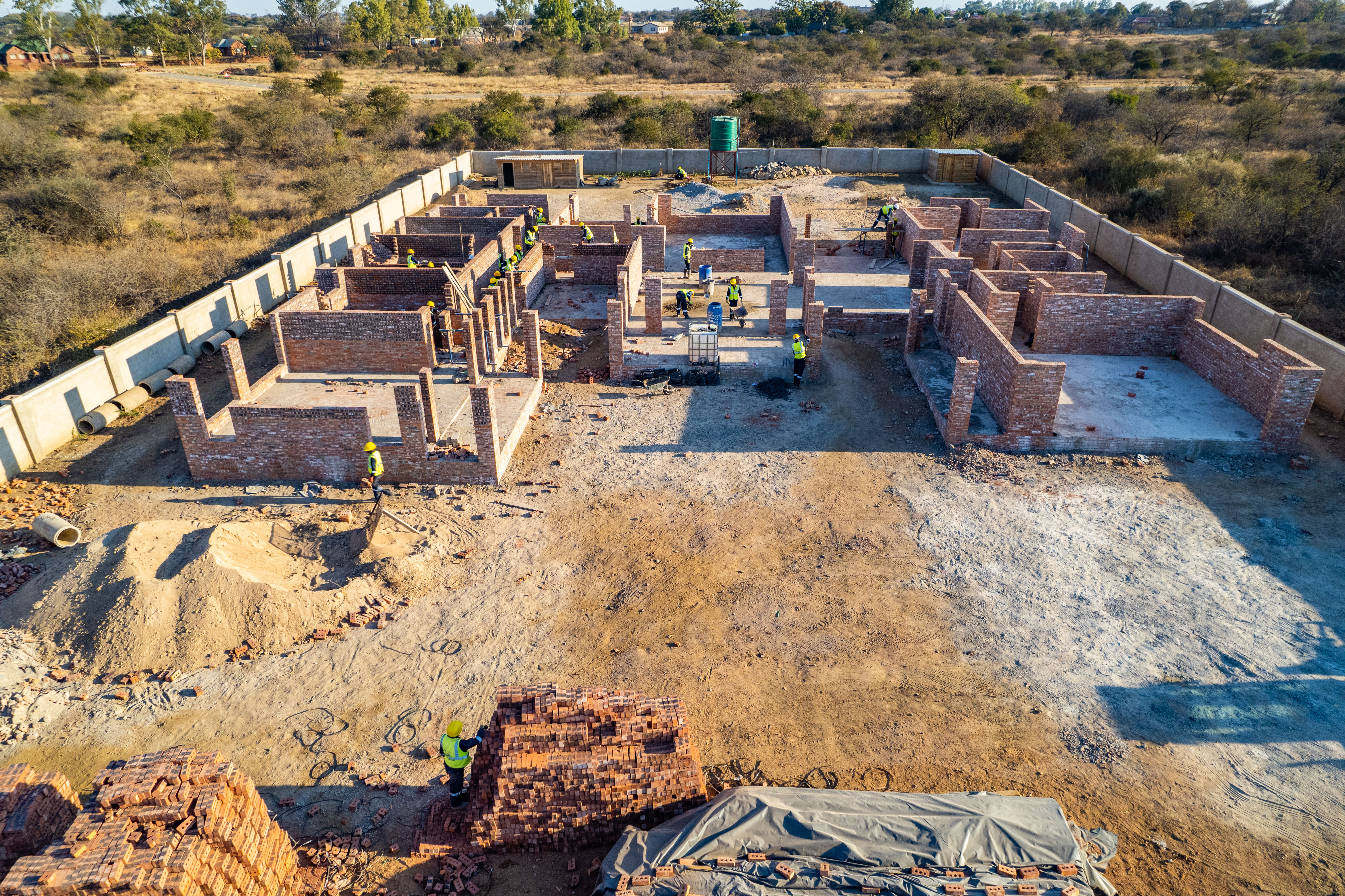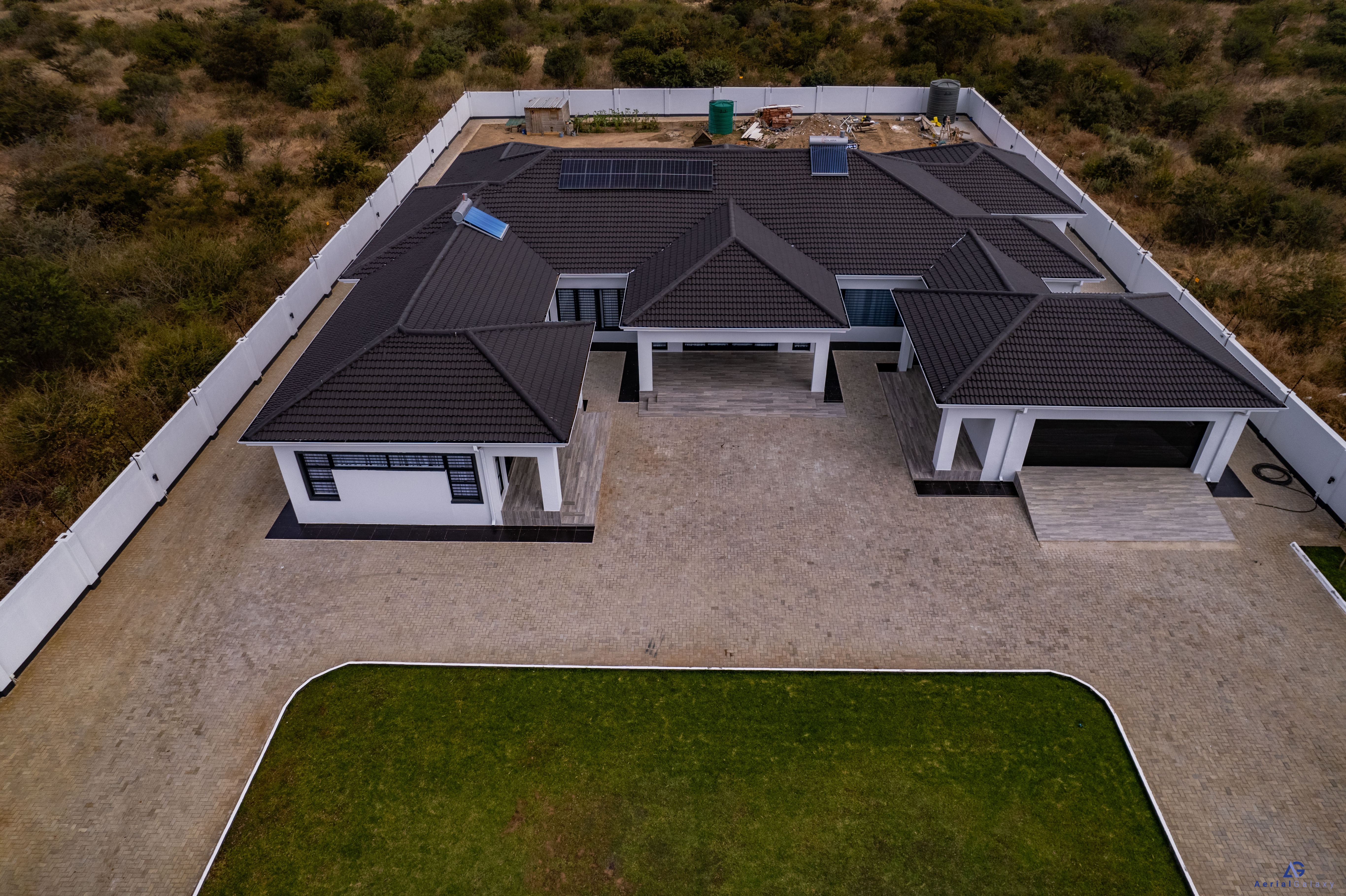
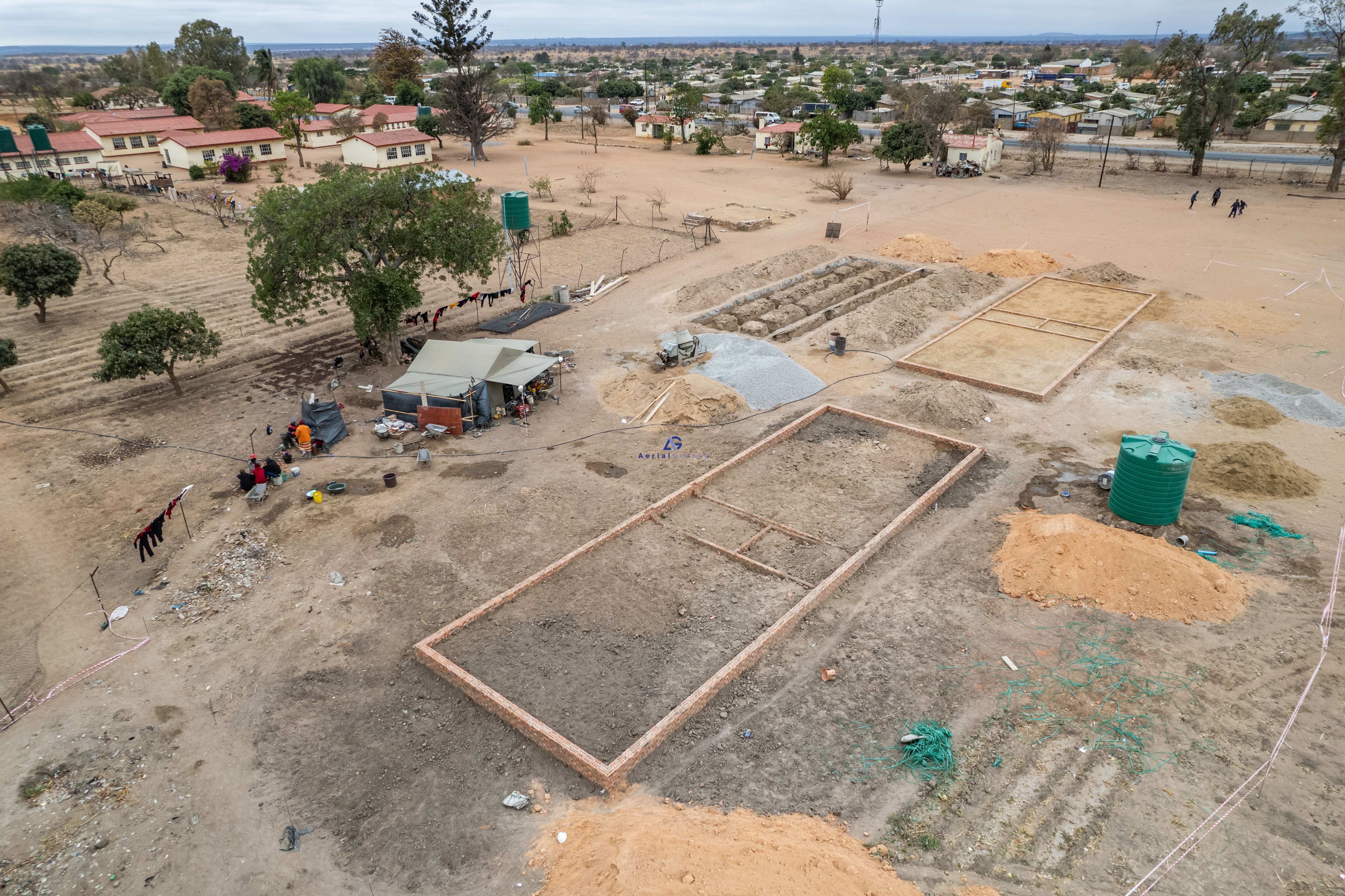
Site establishment to structural works
Useful for mobilisation records, milestone checks, and high-level project updates.
Construction progress monitoring
Aerial Galaxy captures consistent drone imagery, orthomosaic site records, and concise reporting for owners, contractors, developers, funders, and project managers who need to see progress without relying on fragmented site updates.
Use case
Progress monitoring is designed for projects where management needs clear visual proof of what has changed on site. Aerial Galaxy establishes a repeatable capture approach, records the site from defined aerial angles, and packages the evidence into formats that can support site meetings, board packs, funder updates, contractor discussions, and remote stakeholder reviews.
The service is suited to commercial developments, civil works, industrial facilities, schools, clinics, housing projects, roads, solar installations, and any multi-stage build where visibility, accountability, and timeline confidence matter.
Before and after evidence
Progress reports can include interactive comparisons that help clients, contractors, funders, and project managers see exactly how the site has advanced between capture dates.
Useful for mobilisation records, milestone checks, and high-level project updates.
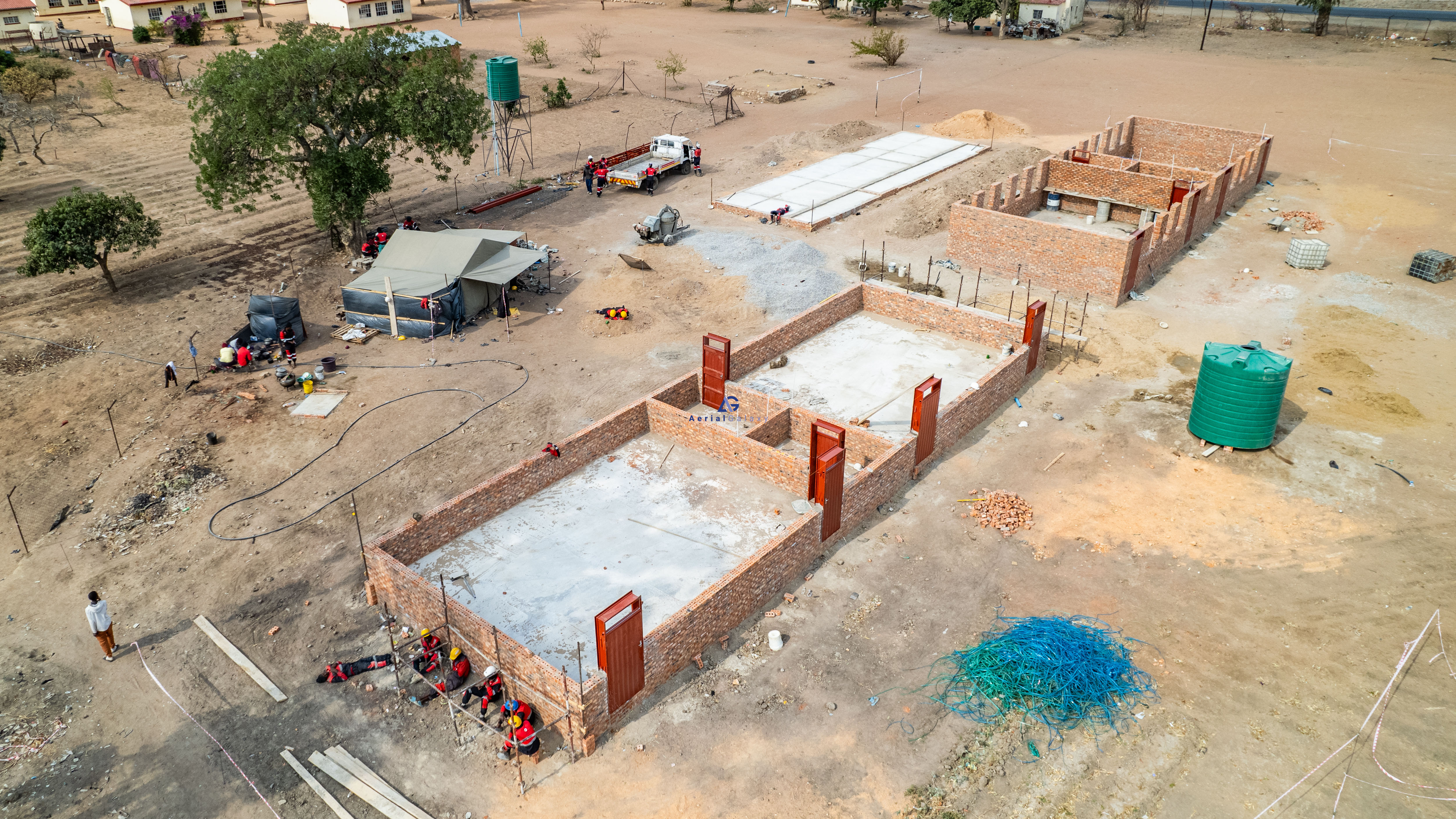
Useful for verifying movement, access readiness, and areas requiring management attention.
Stage sequence
The same site is shown across four aerial captures, moving from the earliest site condition through the latest visible construction progress.
Expected deliverables
Dated PDF summary with key site observations, selected images, milestone notes, and management-ready commentary.
Top-down stitched site map for each capture cycle, useful for visual comparison, planning, and stakeholder review.
Repeatable aerial viewpoints that show month-on-month change with consistent framing and date labelling.
Edited stills, short progress video, annotated visuals, and cloud delivery links for fast circulation.
Commercial value
Aerial progress monitoring gives leadership a reliable record of work completed, visible delays, material movement, access constraints, and site readiness. It helps teams align faster, answer stakeholder questions with evidence, and document project history without pulling senior people into every site visit.
Technical considerations
Flight paths, altitude bands, camera angles, and reference viewpoints should be defined early so each report can be compared properly.
Active machinery, people, cranes, power lines, security zones, and induction requirements affect timing and flight planning.
Visual reporting is different from certified survey work. If measurements, cut/fill, or volumes are required, control methodology and accuracy requirements must be agreed.
Operations remain subject to client or landowner permission, relevant CAAZ considerations, wind, rain, visibility, and safe operating conditions.
Questions clients ask
It is a repeatable drone capture and reporting workflow that documents visible site progress over time using aerial images, maps, fixed viewpoints, videos, and concise reports.
Many projects use monthly captures, while faster-moving sites may use weekly, fortnightly, or milestone-based captures depending on reporting needs.
A report can include dated aerial images, before-and-after comparisons, site observations, orthomosaic records, fixed-point views, short videos, and links for stakeholders.
Yes. It creates visual evidence that can support milestone reviews, stakeholder updates, payment discussions, claims conversations, and remote project oversight.
Enquiry
Send the site location, project type, preferred capture frequency, reporting audience, and required deliverables. Aerial Galaxy will respond with the recommended monitoring structure, assumptions, timeline, and commercial estimate.